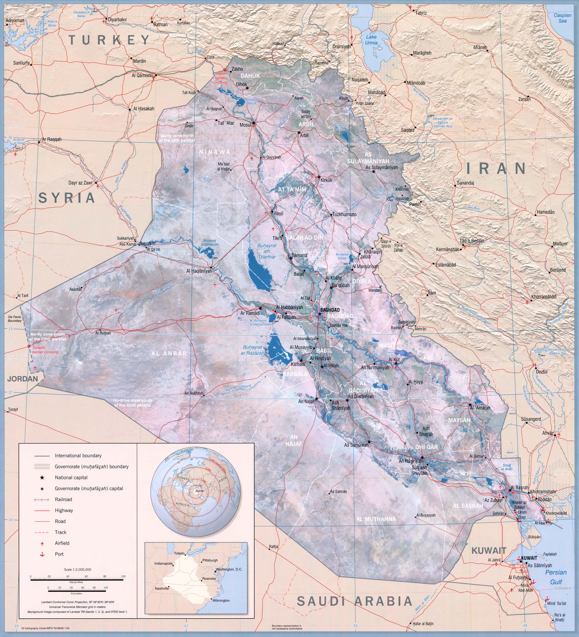
 A map depicting terrain relief showing ground elevation, usually through either contour lines or spot elevations. The map represents the horizontal and vertical positions of the features represented. Again I chose to show a map of Iraq, this time using a topo map. Notice this time there is physical features dipicted.
Friday, August 1, 2008
Topo map
A map depicting terrain relief showing ground elevation, usually through either contour lines or spot elevations. The map represents the horizontal and vertical positions of the features represented. Again I chose to show a map of Iraq, this time using a topo map. Notice this time there is physical features dipicted.
Subscribe to:
Post Comments (Atom)
No comments:
Post a Comment